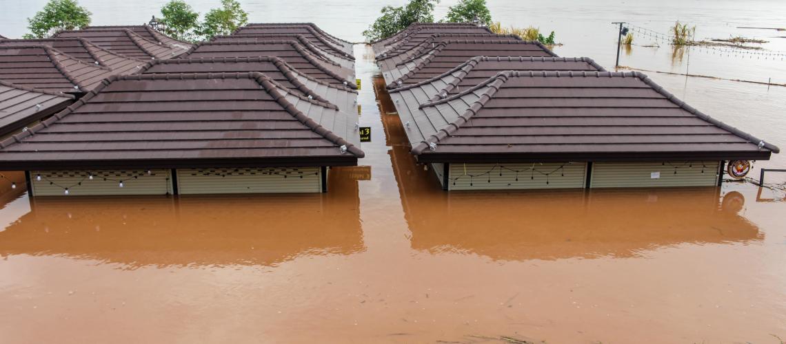
An emergency becomes a disaster when it exceeds the capability of the local resources to manage it. With ever increasing population and housing densities, the world continues to experience ever increasing danger and damages from natural and manmade disasters. Deaths, injuries, and loss of property will increase around the world due to disasters, unless changes are made in the manner we respond to disasters. Effective disaster management and response demand rapid utilization of information and data from many sources. Visualization and spatial applications are critical during pre and post-disaster management and response. The ability to seamlessly integrate and distribute digital data into spatially explicit forms for situation, rapid assessment and analysis during and after a disaster remains a challenge.
To meet this challenge UNOSAT is offering a course on integrated approach to how info management and sharing is enhanced by use of GIS tools in disaster situations. The GIS database can be accessed for damage assessment or to locate critical infrastructure. To get an overview of the disaster situation it is crucial for disaster managers to be equipped with these basic tools.
On completion of the course, students will be able to critically analyze the prerequisites and challenges for effective situation, rapid maps and preliminary damage assessments. This could include identifying, collecting, preparing, analyzing and creating maps which will match the needs arising from anticipated future disasters.
Learning Objectives:
The aim of the course is to prepare the students so that they are able to work with basic GIS tools in preparation of situation maps.
At the end of the course the students must:
- understand the role of Geo information in the response phase of a disaster
- be able to collect various disaster related information including GIS
- be able to use basic GIS tools to prepare situation maps
- be able to do a preliminary damage assessment after a disaster based on the available spatial information
- be able to collect GIS information from web and prepare, analyze and produce maps for a disaster situation