40 hours
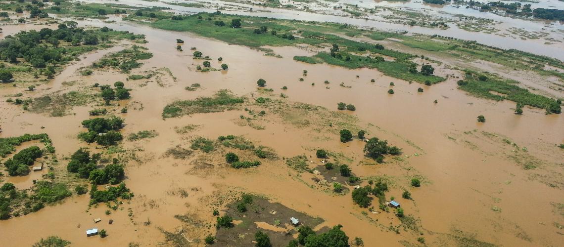
Geospatial information technology applications for DRR, Climate Resilience and Climate Change Adaptation
Cross-sectoral
English
French
Delivery Modality
In person
Online guided
Theme
Risk Information
Satellite Imagery, GIS, and Remote Sensing Applications
Audience
Civil Society & Community-Based Organizations
Government
NDMO/Civil Protection
Sectoral Ministries
Students
Agencies
UNITAR
Certification
Yes
This training module on Geospatial information technology applications for DRR, Climate Resilience and Climate Change Adaptation can be customized and facilitated by UNOSAT on demand.